
Table of Contents
Have you ever lost in any event or as a brand do you think that you received fewer visitors in your last event? No matter what, whether you’re attending a trade show, conference, or music festival. Finding your way around a large venue or discovering your favourite brand’s stall can be a challenge. But with the power of a 3D wayfinder app for event and floor plan mapping, navigation can be easier.
This article will explore the benefits of 3D wayfinding and floor plan mapping for events. Additionally, we will touch upon the key aspects of wayfinder for event features, advantages, industry best practices, and use cases. So, look no further this comprehensive guide will take you to all the important aspects of digital wayfinding for events. Let’s get started;
Table of Contents
What is a 3d Wayfinder App for Event and Floor Mapping Navigation?
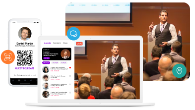
A 3D wayfinder app for event and floor mapping navigation models refers to an, specially designed mobile application. In general, this app is popularly developed to help attendees navigate through a venue or event space. The mobile app-based wayfinder for events provides users with an interactive 3D map of the event space. Additionally, allowing them to easily locate exhibitor booths, conference rooms, restrooms, and other important areas. In simple terms;
“The wayfinder app for events is a GPS technology-enriched application used to provide audiences real-time direction and guide them to their desired location within the event space.”
Furthermore, this feature can be enabled and introduced in the same mobile event app that you are supposed to offer your audience. Also, as earlier, you can include event information, speaker bios, sponsors, and all other relevant information while adding the wayfinder for event features in it.
There are many advantages to deploying digital wayfinding or micro-maps for events. So, let’s have a look at those advantages;
The Key Advantages of 3D Wayfinding and Floor Plan Mapping App for Events
Effective navigation is essential for the success of any event. By utilising the technology advancements, there are now innovative solutions to ensure that attendees can easily navigate through complex event spaces. One such solution is the wayfinder app for event and floor plan mapping. It offers a comprehensive, interactive, and user-friendly approach to event navigation.
By providing attendees with detailed micro-maps for events, organisers can enhance the overall attendee experience. Additionally, this approach will ensure that everyone can easily find their way around the venue.
There are numerous functions that you can deploy while offering digital wayfinding for events. Have a look at how those functionalities can help to improve attendee satisfaction and engagement.
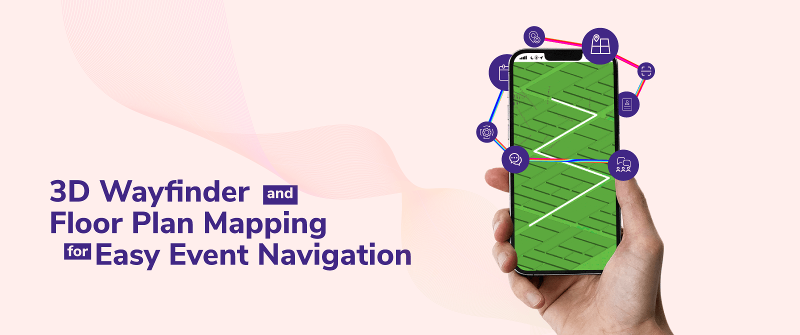
Easy Navigation with 3D Floor Plan Mapping
A wayfinder app for events can be helpful and deployed on any scale of events. But in general. Attendees can easily find their way around a large venue with 3D floor plan mapping and a wayfinder application. By overlaying a digital map of the event space on a mobile device, attendees can quickly see where they are, where they need to go, and what’s around them. This makes it easy to navigate complex venues and find specific booths, sessions, activity corners, and others.
Hardware & Non-Hardware Based Wayfinder App
The wayfinder for event solutions is available both as hardware-based and non-hardware-based. Hardware-based keys can be placed throughout the venue and provide attendees with real-time location information via Bluetooth beacons or WiFi.
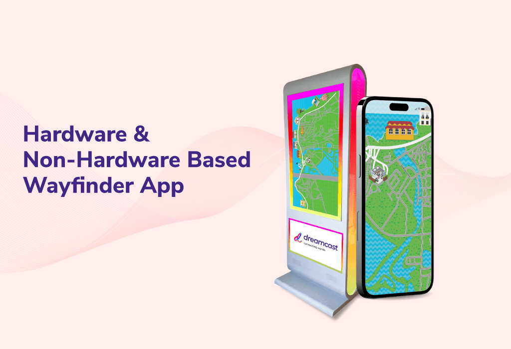
In general, the hardware-based wayfinder app for events includes a big display throughout the event or placed in a strategic location. This works as a digital signboard. Also, it contains maps of the event space, schedules of sessions or presentations, and other information that attendees may find useful. Some way finders for events may also include built-in speakers or other audio output options to provide additional guidance or information.
However, The hardware is comparatively costly but depends on the nature of the event type and requirements. Additionally, Non-hardware-based solutions are software-based and utilise the mobile device’s built-in location services like GPS to provide wayfinding.
In conclusion, the combination of both types of wayfinder for event solutions can be used for optimal coverage and accuracy.
Location-Based Push Notifications for Users
As the name itself suggests, location-based push notifications are a powerful tool for keeping attendees informed and engaged. By notifications, you can provide attendees with real-time updates on event schedules, special offers, and other important information based on their current location.
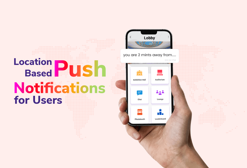
Additionally, this feature is especially helpful for events with a large number of attendees, making it easy to communicate with everyone in real-time. However, by sending offers based on their previous visits and by analysing their visits you can send personalized offers. This is the best approach a brand can do in an event to enhance its customer experience while increasing ROI.
Real-Time Blue Dot Positioning In Micro-Maps For Events
Accuracy is the new age of importance when it comes to maps and directions. Partial accuracy can lead to loss of customers and visitors to your booth. By implementing enriched cutting-edge technology developed Dreamcast’s wayfinder app for event users can get an accurate representation of their location on the event map.
Furthermore, this helps attendees stay oriented and navigate the venue more easily. By using Bluetooth beacons or WiFi signals, digital wayfinding for events can provide real-time blue dot positioning with high accuracy.
Quick and Easy Deployment and Scaling
The wayfinder app for event and floor plan mapping solutions is quick and easy to deploy and scale. This can be set up in just a few hours and can be easily customised to meet the needs of any event. Plus, since these solutions are software-based, they can be easily updated and scaled for future events.
Works Both Inside and Outside The Event
One of the greatest advantages of micro-maps and digital wayfinding for events is their ability to work both inside and outside. Whether attendees are navigating an indoor trade show or an outdoor music festival. The wayfinder app for events can provide accurate location information and navigation while also enhancing the attendee’s experience and making them feel comfortable.
Industries That Can Benefit from 3D Wayfinding and Floor Plan Mapping
While 3D wayfinding and floor plan mapping solutions are especially helpful for events, they can also be useful in other industries, such as
- Convention Centers
- Indoor routing at trade shows and fairs
- Events & Conferences
- Routing inside airports or train stations
- Malls & Shopping
- Hospitals
- Offices & Facilities
- Wayfinding on the university of college campuses
For example, hospitals can use the mobile app-based wayfinder to help patients and visitors navigate their facilities, while retailers can use them to help customers find products in their stores. Educational institutions can use wayfinding solutions to help students navigate their campuses and find their classrooms.
The 3D wayfinder app for events can be especially useful for large, complex events, such as trade shows or conventions, where attendees may have difficulty navigating the space or finding specific exhibitors. Offering an easy-to-use map and navigation app can enhance the attendee experience and help increase engagement with brands and sponsors.
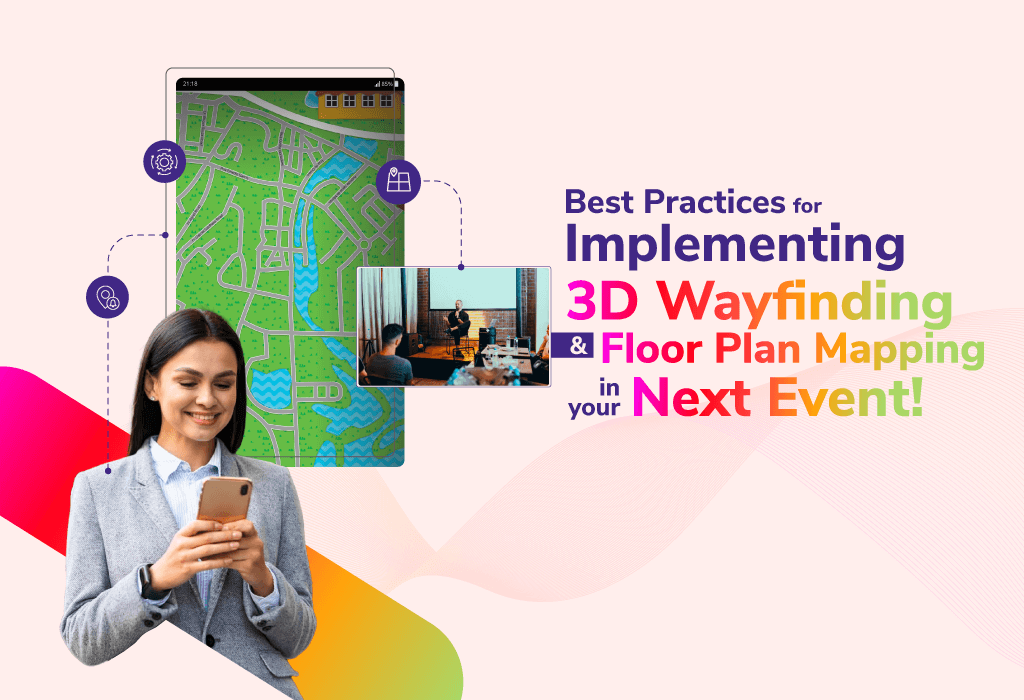
Best Practices for Implementing 3D Wayfinding and Floor Plan Mapping In Your Next Event!
To get the most out of 3D wayfinding and floor plan mapping solutions, it’s important to follow best practices for implementation. To help you maximise your efforts and enhance the attendee here are a few tips we have concluded for you to keep in mind :
- Start with a clear strategy and plan for implementation.
- Use a combination of hardware-based and non-hardware-based solutions for optimal coverage and accuracy.
- Provide clear and concise instructions for using the wayfinder app for events.
- Utilise location-based push notifications to keep attendees informed and engaged.
- Provide on-site support and training to ensure attendees are comfortable using the micro-maps and digital wayfinding for event solutions.
By following these best practices, you can ensure that your event attendees have a seamless navigation experience with 3D wayfinding and floor plan mapping solutions.
End Note!
Undoubtedly 3D wayfinding and floor plan mapping solutions are revolutionising event navigation and the whole experience. With easy-to-use micro-maps for events, a wayfinder app for events, QR code-based wayfinder for events, real-time location information, and location-based push notifications. Attendees can quickly find their way around large venues. These solutions are quick and easy to deploy and can be scaled for future events. By implementing 3D wayfinding and floor plan mapping solutions, event organisers can provide a more engaging and seamless experience for their attendees.
Additionally, mobile app-based wayfinder for events can also be useful in other industries. Alike; healthcare, retail, and education are just a few examples of industries that can benefit from these solutions. Following above mentioned best practices for implementation, can ensure that your attendees have a positive and memorable experience at your event. If you’re planning an event and want to improve navigation and enhance the attendee experience. You need to develop and deploy the wayfinder for event. However, it can be challenging, so to make it easy for you, our team of highly skilled and experienced professionals can help you out in this situation. Dreamcast is known for offering numerous event technology solutions. To know more, book your free personalized demo now!!
FAQs
Indoor routing is typically implemented using specialised software and hardware. The software uses 3D floor plans and maps to create digital maps of the venue. The hardware may include beacons, sensors, or other location-tracking devices that help track the location of the user.
A: The cost of indoor routing and a wayfinder app for events can vary depending on the specific solution and the size of the venue. Some solutions may be free or low-cost, while others may require a significant investment. It’s best to research different options and compare costs before selecting a solution.
Mobile app-based wayfinder for events can be integrated into existing mobile event apps or websites using APIs or SDKs provided by digital wayfinding for event solutions. This allows the navigation functionality to be seamlessly integrated into the existing user interface.
Digital wayfinding and micro-maps for events can be customised to different buildings or venues by creating customised digital maps that reflect the specific layout and features of the building. This can include adding landmarks or points of interest to help users navigate more easily.
Privacy concerns associated with 3D wayfinder & floor plan mapping for events may include tracking the location of users and collecting data on their movements. It’s important to ensure that the solution complies with data privacy regulations and that users are informed about how their data will be collected and used.
Updating mobile or QR app-based wayfinder for events can be relatively easy if the solution allows for the easy modification of digital maps and other data. However, if the updates require changes to hardware or infrastructure, it may be more challenging and time-consuming.
Digital wayfinding for events may use GPS, but it typically relies on other location-tracking technologies such as beacons or sensors. GPS signals may not be reliable for indoor venues, so alternative technologies are often used.
Indoor routing can be integrated with outdoor navigation by creating a seamless transition between the two. This can include providing walking directions between indoor and outdoor areas or displaying both indoor and outdoor maps within the same user interface.
Create an Extraordinary Event Experience
Across All Event Formats